


Everything you need
Powerful features to streamline your workflow
Global Coverage
Access map data for any location on Earth using OpenStreetMap.
Building Footprints
Export accurate building outlines with organized layers.
Road Networks
Get complete road hierarchies from highways to paths.
Natural Features
Include parks, forests, and green spaces in your exports.
Layer Control
Toggle and customize which features to include.
Instant Download
Export to DXF format ready for your CAD software.
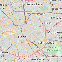
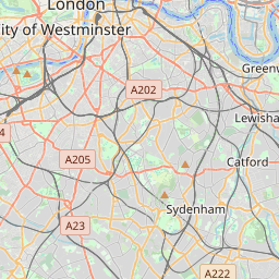
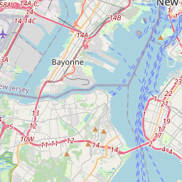
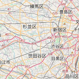
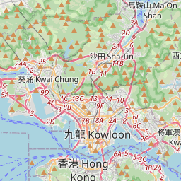
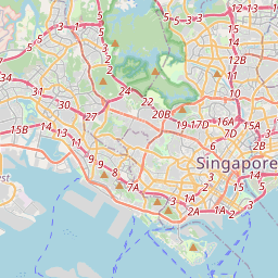

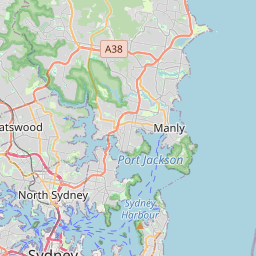
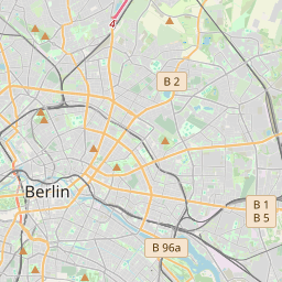

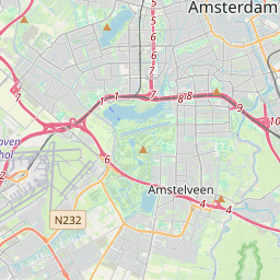

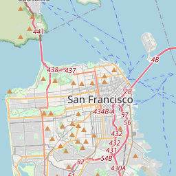
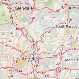
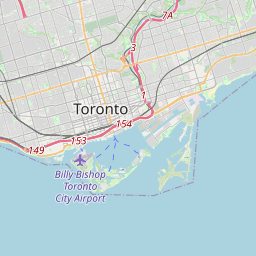
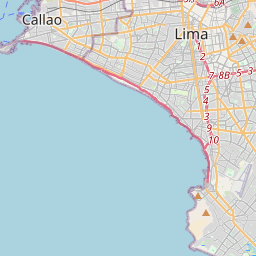
A free CAD map and site analyzer for any city
Turn OpenStreetMap data into a clean DXF drawing and a site analysis, without an account or a paid plan.
DXF map from OpenStreetMap
Draw an area of up to 10 km² and download buildings, roads and paths, green areas, water and trees as a layered DXF file. OSM to DXF in seconds, with real-world scale.
CAD map for DWG software
The DXF opens directly in AutoCAD and other DWG-based tools, as well as Rhino, SketchUp and Illustrator — a free alternative to paid CAD map services.
Free site analyzer
Every export comes with a site report: building count, density, built footprint, estimated FAR, green coverage and a breakdown of building uses.
Browse all site reports or open the map editor.